Whether you are buying or selling in the New Hampshire Lakes Region, a home inspection is one of the most important risk-management steps in the transaction. Around Lake Winnipesaukee and surrounding towns inspections are not just about structure and systems. They are about water, winter, wells, septic systems, and shoreland constraints. This page breaks down the process in plain English so you know exactly what it is, what it is not, and how to use it strategically.
What Is a Home Inspection?
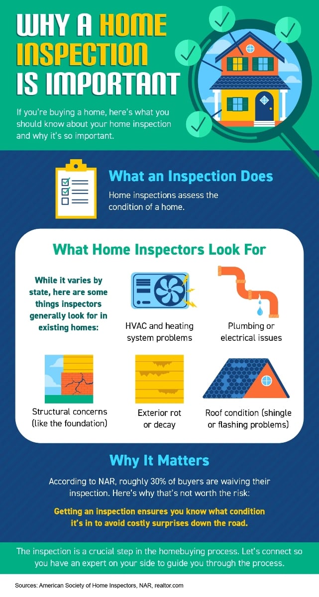
In New Hampshire, a home inspection is a visual, non-invasive examination of readily accessible systems and components of a residential property. It must be performed by a state-licensed home inspector under defined Standards of Practice.
It is designed to:
- Identify material defects
- Flag safety concerns
- Highlight systems near the end of service life
- Recommend further evaluation when appropriate
It is not:
- A code compliance inspection
- A guarantee against future defects
- A cost estimate for repairs
- An opinion of value
