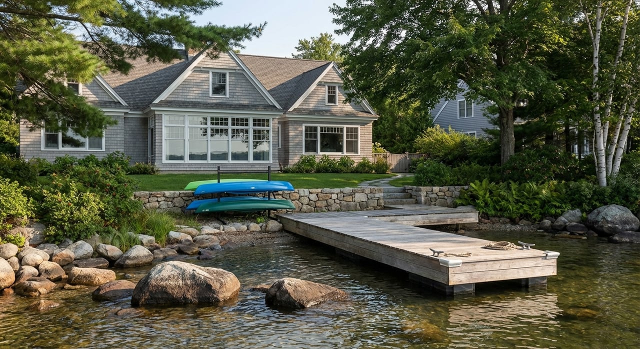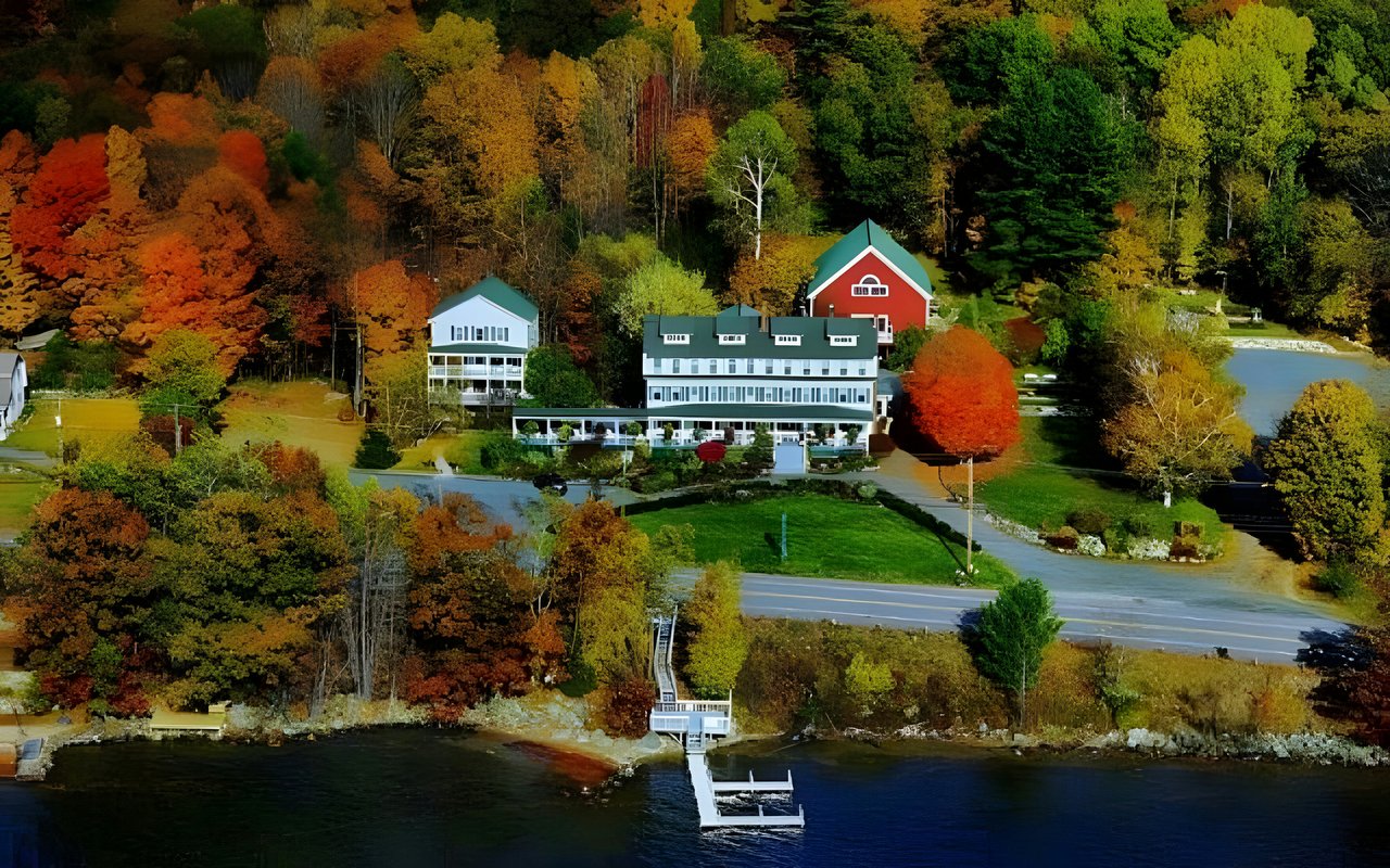
In May, docks around Lake Winnipesaukee were partly underwater and getting to the shoreline was harder than usual. By September, those same docks were sitting high and dry over exposed rocks. The Lake Winnipesaukee Alliance described both ends of that swing in its 2026 columns for The Laconia Daily Sun.
The October number matters more. On October 20, 2026, the NHDES Dam Bureau recorded the lake at 502.51 feet. The deepest seasonal level the lake is managed toward is about 502.32 feet, two feet below full, and it normally gets there by late winter. That leaves roughly two inches of room, with November, December and January still ahead.
In a normal year, the lake gets close to that level slowly and on schedule. This year the summer drought got it there before Halloween.
The Gauge, Month by Month
These readings come from the NHDES daily lake level table for 2026 and from Bree Rossiter's columns. Rossiter is associate director of the Lake Winnipesaukee Alliance. NHDES records levels as feet above 500, so a reading of 2.51 means 502.51 feet above sea level.
| Date (2026) | Lake level | What was happening |
|---|---|---|
| January 1 | 502.48 ft | Lakeport Dam releasing 50 cfs |
| May 18 | 504.96 ft | Season peak; Rossiter's column gives 504.97, about 7.8 inches above full |
| June 1 | 504.87 ft | Releases raised to 1,300 cfs |
| July 15 | 504.00 ft | Releases down to 360 cfs |
| September 11 | 502.86 ft | Just above the bottom of the summer recreation range |
| October 13 | 502.52 ft | Columbus Day release cut to 50 cfs |
| October 20 | 502.51 ft | About 22 inches below full |
On October 20 the lake was within three hundredths of a foot of where it stood on New Year's Day 2026, in the middle of last winter. Between May 18 and October 20 it dropped almost two and a half feet.
The same NHDES table shows the 1982 to 2025 average for October 20 at 503.12 feet. This year's reading is about seven inches below that average. It is also about three and a half inches above the lowest reading on record for that date, 502.21 feet.
Why the Dam Couldn't Hold the Spring Water
People asked the opposite question in May. As Rossiter wrote in The Laconia Daily Sun, the shoreline was asking why the lake was so high and why more water couldn't be let out faster. The Dam Bureau was already releasing about 1,550 cubic feet per second (cfs), nearly three times the lake's long-term average outflow of about 550 cfs. She noted that a flow of 1,920 cfs held for a full day lowers Winnipesaukee by only about one inch. On a lake of roughly 72 square miles, outflow changes the level slowly whichever direction it's going.
Summer set a floor on how little water could leave. Under deeded water rights that date to the 1800s, hydropower facilities on the Winnipesaukee River are entitled to at least 250 cfs, about 112,000 gallons per minute. In a dry stretch, that required release can exceed what flows into the lake. Add evaporation, and NHDES says the lake typically drops 12 to 15 inches over a summer.
The summer of 2026 was not typical. Rossiter's season-end column described New Hampshire's seventh-warmest summer on record, with drought carrying over from the year before. In the NHDES table, estimated inflow was below zero for most of late August, meaning evaporation and outflow were taking water faster than streams replaced it. The required 250 cfs kept going out the whole time.
The Columbus Day Cut Mostly Stopped the Drop
Winnipesaukee is often lumped in with the state's fall drawdowns, but NHDES manages it differently. In its September 28, 2026 announcement, the agency said the lake is not deliberately drawn down in fall. After Columbus Day, Lakeport Dam cuts its release from the usual 250 cfs minimum to 30 to 50 cfs for up to two weeks so the dams and hydropower facilities on the Winnipesaukee River can be maintained. That lower flow is the minimum needed to protect aquatic life downstream. NHDES announced an October 12 start this year, and the daily table first shows the 50 cfs release on October 13.
The daily readings show how it played out. Over the next week the lake moved within a narrow band, from 502.49 to 502.56 feet. It read 502.48 on October 11, before the cut, and 502.51 on October 20.
NHDES expected this. Its release said that by mid-fall the lake is normally about 15 inches below its springtime full level, that the drought had already brought it there, and that the lower release was not expected to drop it much more in October. Water leaving Lakeport also passes through Paugus Bay, Lake Opechee, Lake Winnisquam and Silver Lake, so this is the one stretch of the year when Winnipesaukee is sending the least water to the lakes below it.
Two Inches of Room Before January
The lake's lowest planned point comes in late winter, around 502.32 feet. The October 20 reading sat about 0.19 feet, or a little over two inches, above that target.
NHDES's outlook depends on the weather. If the drought eases this fall and winter, the agency expects the lake to stay fairly stable through December unless a major storm arrives. Starting in January, the lake may be lowered further to two feet below full, depending on how much snow is on the ground.
The drought has not eased yet. The U.S. Drought Monitor map released October 15, 2026, with data current to October 13, classified 81 percent of Belknap County as in moderate drought and the other 19 percent as abnormally dry. Carroll County, which covers the lake's eastern and northern shores, was 100 percent in moderate drought.
With the lake already this close to its winter target, the dam has very little lowering left to do. The level over the next three months will depend mostly on fall rain and on the snowpack that NHDES watches before deciding anything for January. Anyone can follow the same data the Dam Bureau publishes. Rossiter points readers to the live lake level and flow readings at nhdes.rtiamanzi.org.
What the Low Water Means for Lake Trout
The level matters for the lake's ecology as well as for docks. Rossiter wrote in The Laconia Daily Sun that lake trout move onto rocky bottoms around late October and November to spawn:
"Their eggs settle into spaces between the rocks, where they remain through the winter before hatching. That means water levels after spawning matter. If the lake drops too far, eggs deposited in the shallowest areas can be exposed to air or freezing temperatures before they hatch."
This year the trout are spawning on a shoreline that is already near its winter level, so the timing works out somewhat better than usual. With only about two inches left before the late-winter target, any further lowering after spawning would be small. That still depends on the weather NHDES describes, especially if heavy snow or a wet spell changes its January plan.
The same column notes that low water uncovers rocks and other hazards that were safely underwater earlier in the season. Anyone still running a boat for late-season fishing or a final trip before haul-out is crossing water that is about seven inches below the long-term average for this date, based on the NHDES historical figures.
Before the Ice
Rossiter's closing column of the season lists specific fall tasks for shoreline owners. The Alliance is also discussing them alongside its new report, "Signs of Decline: State of the Lake Assessment," which uses more than 40 years of data to track nutrients, water clarity, cyanobacteria and chloride.
- Bubblers on a timer. If you run an aerator to protect a dock, she suggests a timer that keeps open only the smallest patch of water you need. Too much aeration creates dangerous thin ice, and any open water or thin ice should be clearly marked.
- Leaves out of the water. Leave them in garden beds and natural shoreline areas, but keep them off roads, out of culverts, drainage ditches and streams, and out of the lake.
- Septic records. Fall is a good time to check maintenance records and schedule an inspection or pumping if one is due.
- Salt. Shovel or plow early, use salt sparingly, and ask your winter contractor about ways to use less, since chloride builds up in the lake over time.
- Bare soil. Cover eroding patches with natural mulch before the spring melt. Rossiter notes that soil work near the shoreline may require permits.
A low shoreline also leaves walls and ramps exposed, which can make repairs look easy to start. NHDES says shoreline repairs during low water require a permit from its Wetlands Bureau first, at 603-271-2147. It also says anyone who needs a special drawdown to repair a retaining wall or private boat ramp should contact the Dam Bureau once all permits are in hand. That way the work can be coordinated with other projects on the same lake. Otherwise a project can wait up to five years, since state fish and game guidance recommends such drawdowns happen only once every five years. This is general information, not legal advice, and the permit questions for a specific property belong with NHDES or a qualified shoreland professional.
If you own on Winnipesaukee and want to talk through how this year's water levels affect your dock, your shoreline, or a sale or purchase you're planning for next season, Cisneros Realty Group can go over it with you before the ice comes in. Schedule a Call.